
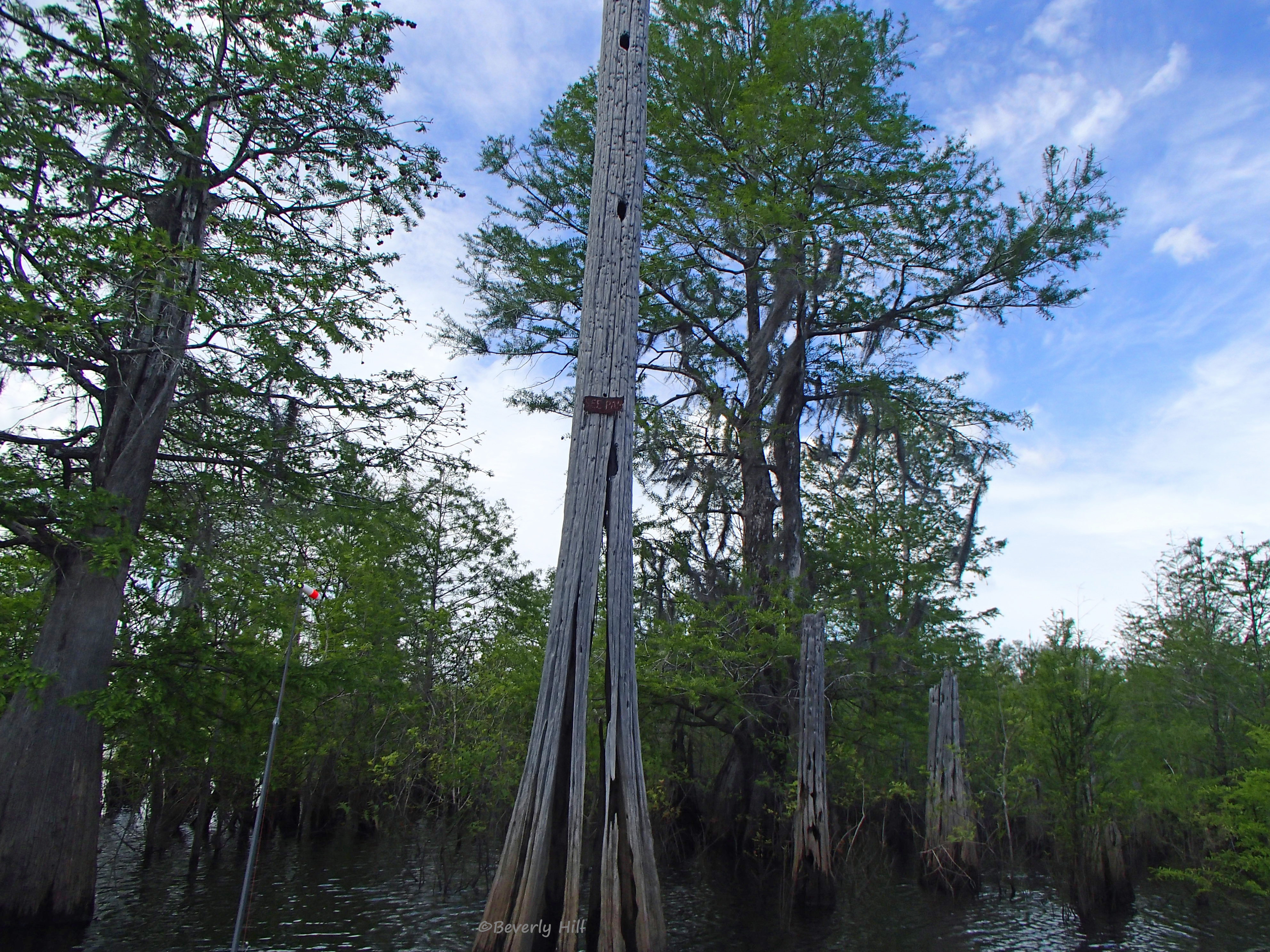
A group of trees on the Dead Lakes
One of Florida’s most unique places may just be the Dead Lakes, located in Wewahitchka, FL and just a short drive from Panama City and Port St. Joe. Once a hardwood forest sitting between the Chipola and Apalachicola River, the area transformed into a 6,700 acre maze-like swamp of dying trees after the Apalachicola River is believed to have blocked the flow of the Chipola with shifting sandbars. What remains today is a diverse ecosystem teeming with life amidst the skeletal remnants of the old forest which has given way to Cypress and Tupelo trees over time.
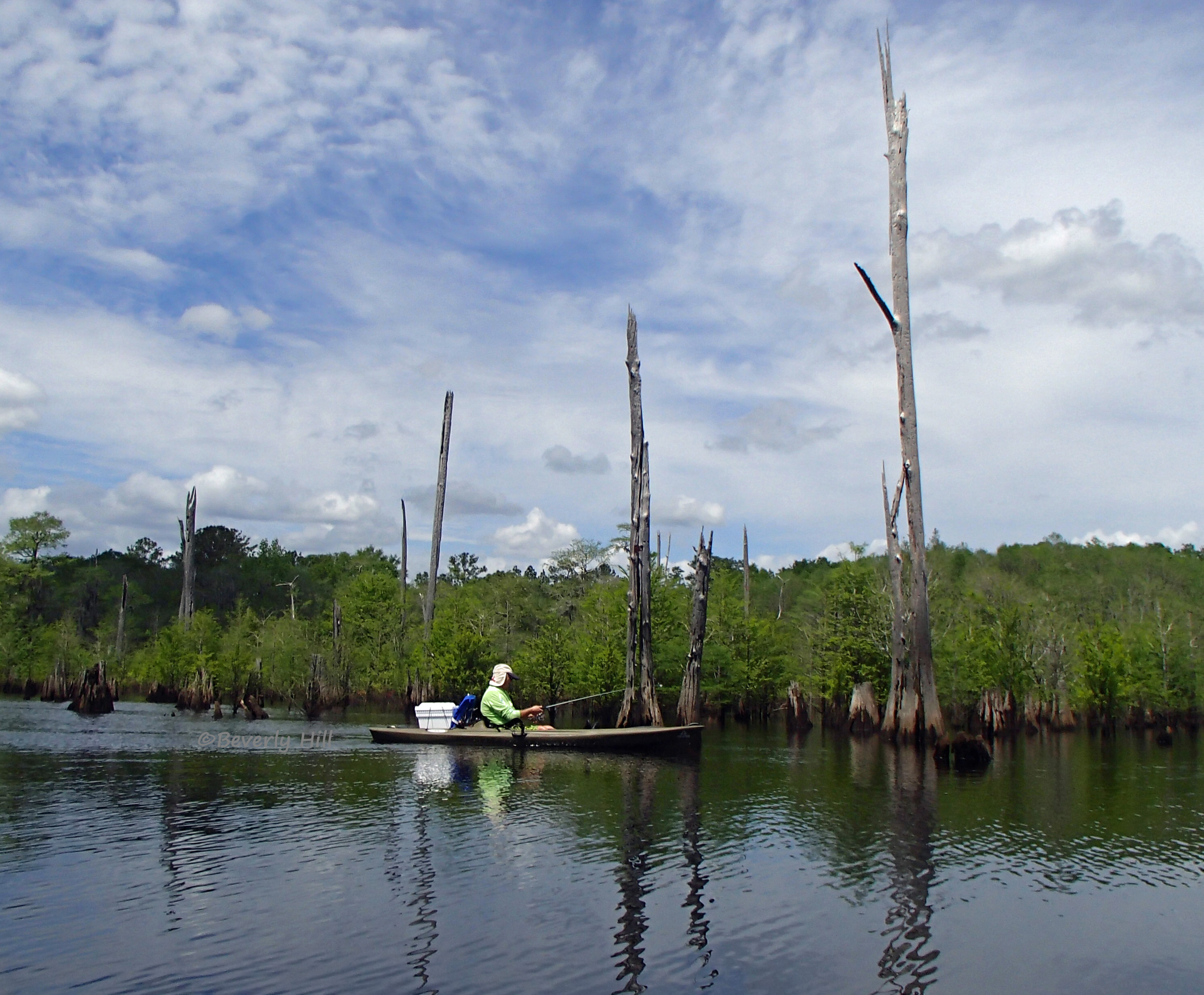
A fisherman trying his hand at landing the big one.
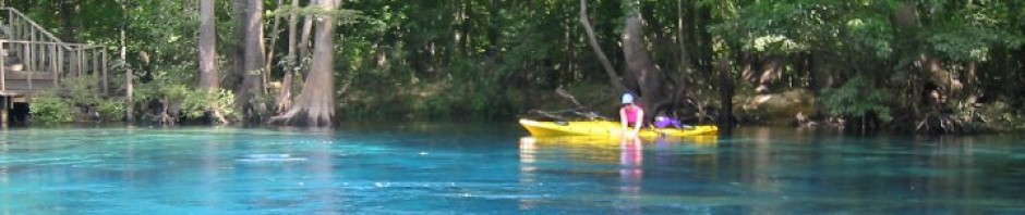
Having garnered a reputation for having excellent fishing opportunities, the Dead Lakes attract fishermen from all over. Shellcracker, bream and bass are as plentiful as the snags, submerged logs and stumps. Motorboats are advised to proceed with caution. Photography and recreational kayaking have also found a home exploring the hidden beauty of these lakes. It is common to see a variety of waterfowl and basking turtles throughout the lake.
The Dead Lakes holds many secrets, one of which is gold, or rather, Tupelo honey which is collected from the bees that frequent the White Tupelo trees throughout the swamp. During the brief Tupelo blooming season, beekeepers often take their beehives deep into the swamp and place them on platforms in the heart of the Tupelo trees. The 1997 movie “Ulee’s Gold,” starring Peter Fonda, was filmed here with the assistance of local and longtime residents, the Lanier family. Honey is such an important part of Wewahitchka history it is celebrated annually with a festival.
Navigating the Dead Lakes
Faded marker along the lake.
If not familiar with the area, the Dead Lakes can be intimidating. Local residents make navigating the seemingly endless twists and turns look easy. Markers are sporadic, oftentimes consisting of nothing more than an old rusted tin can or license plate, moss-covered wooden markers or even an oddly shaped tree branch. If visiting for the first time it may be best to hire a local guide.
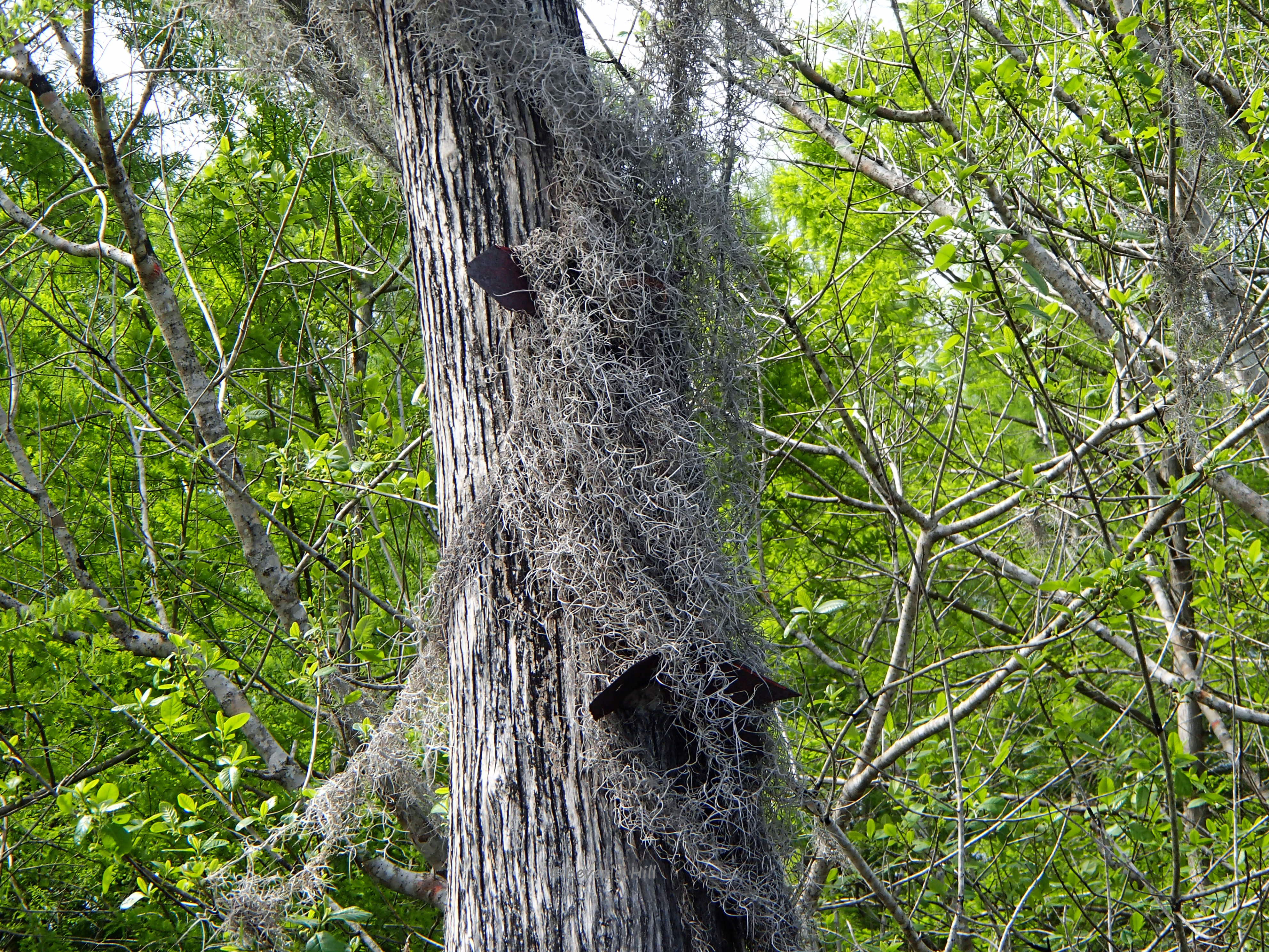
Almost hidden, a moss-covered marker points the way.
For those first-timers venturing forth without the benefit of a guide, it is advisable to bring along a reliable gps. There are no official paddling maps of the Dead Lakes, but it is possible to obtain a topographical map of the area by visiting the USGS website. Even with these tools, once out of the West Arm it can be difficult to note and find one’s way back to the boat ramp. A personal locator beacon, or PLB, is also recommended in case of emergency due to poor or no cell phone reception in this area.
Getting There
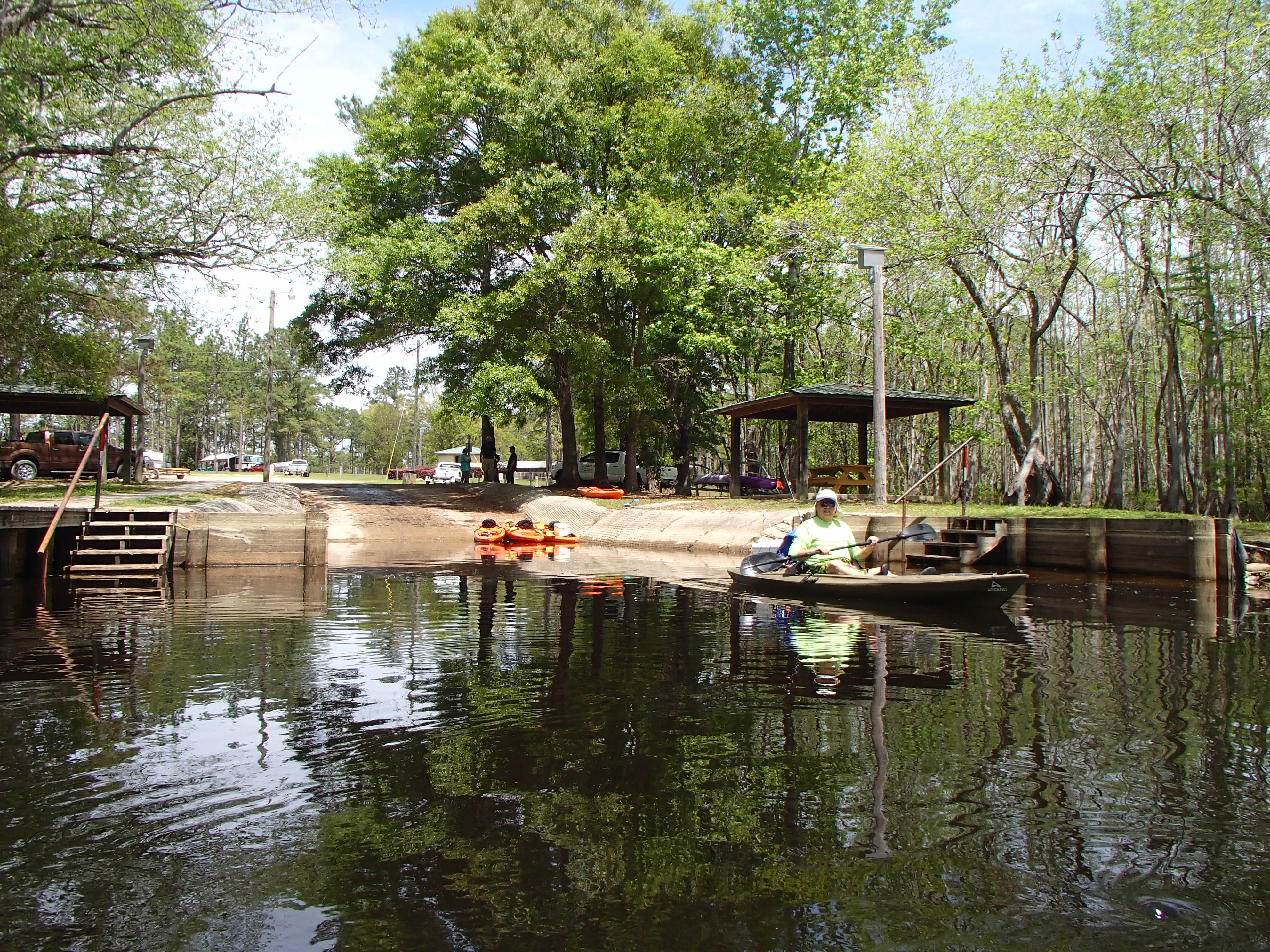
Boat ramp at Dead Lakes Recreation Area
Dead Lake Recreation Area, is located off SR71 a mile north of Wewahitchka. Turn right on Rowell Road into the park and right again when the road splits past the pond and follow it to the boat ramp. Paddle east along the West Arm to enter the Dead Lakes about a mile or so from the ramp
At the northern section of the lake access can be gained through Cypress Creek. Follow the signs on SR71 near the intersection of SR 71 and SR73. There are no facilities at this boat ramp. Additionally, a few local fish camps surround the lake and access may be given for a small fee.
[codepeople-post-map]
[amazon template=iframe image&asin=B008JH4GWO]